
Cool Places
Kristi Lake Nature Trail – have a look at the “web brochure” I threw together. (https://northberry.ca/Kristi/) I’ve learned better audio & mobile HTML techniques since and will be redoing this when I have time. Also you can view it on Google Maps.
Anglin Lake Tower – a lovely hilltop view where the firetower stands. Camp or hang out at the cabin that used to be for firetower lookout workers. (nice ski trail map)
The “tree house” – The overlook on the Spruce River Highlands is a family favourite ever since it was dubbed “the Tree House” tower. PA National Park Link
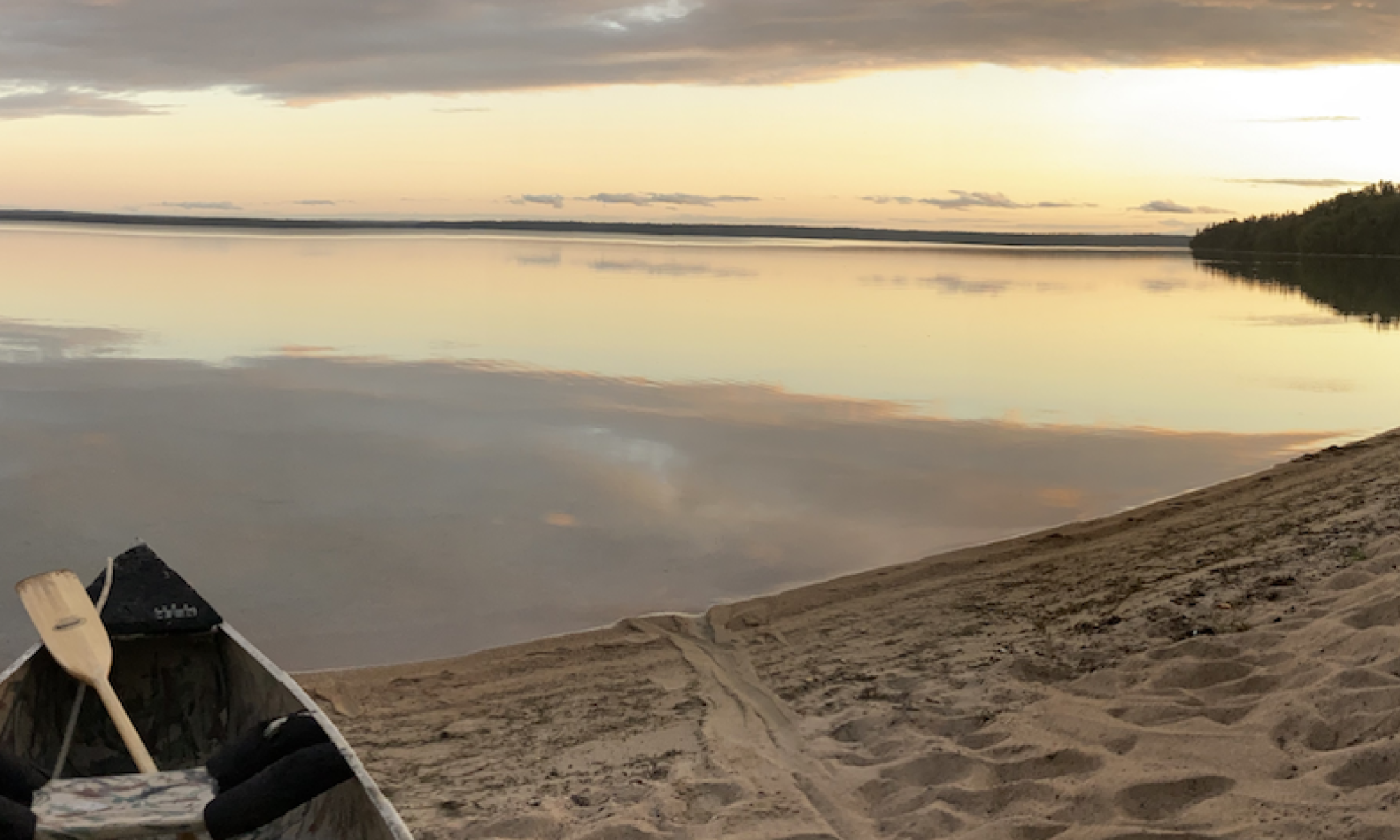
Kingsmere trail/rail – it’s a train, no it’s a trolley, no it’s a PORTAGE! This is a fun one day trip to wade or canoe over to the lovely little beaches on the eastern side of the Kingsmere river entrance and bask in the western sun on a lazy August day.
The Grey Owl Pilgrimage – Like the much more famous “ol Faithful” of Yellowstone – this is a place you need to hike/bike or canoe into at least once in your life. Like Saskatchewan – it’s not as grand as Yellowstone – but it has that solid, regular calming effect. Learn how a British expat (ie “pretendian”) came to embrace the north in all it’s complexity and helped promote natural conservancy. To get there is a day’s hike or canoe for someone in good basic health in their 30’s – plan for extra time with children or older hikers. It’s a perfect weekend endeavour to savour the lovely environment. Cell phones do not work in Kingsmere – if that concerns you – then consider not going on this particular hike – or learn to love the disconnectedness!
Chilkoot Forever: A lovely mountain hike, a museum and international adventure all in one! It takes some effort and planning just to get to the trailhead of this Gold Rush era trail – you need passports (you will be crossing from one country into another) , you need transportation logistics to get there, and hiking acumen to pack for a trail in a park with serious restrictions – including fire. If you are still interested – then you’ll be rewarded with an amazing view while hiking over a major watershed – from from Pacific Ocean to the headwaters of the Whitehorse River with 100 year old artifacts regularly appearing near the trail! Note: research it carefully – nature and border crossing policy change quickly – your trip could be quite different form our 4 day straight hikes I took in 2007 and 2016.
Rotary Trail – A lovely bike or walk around the City of Prince Albert ( Google Maps Link )
Little Red – so many trails! Lots of Maps! (Interactive) (Ski 2024/25) (Walking) (Bikes)
The Lighting up the River Trail – A historic community effort! Each Donor Light pole is mapped and photos of their plaque: Google Maps Link – lots of photos of pole plaques!
GPS’s and GPS Apps
Using Now
GaiaGPS is my go-to app. That may change however, since they were purchased by outbound I’ve found them less responsive and have always experienced a level of geek frustration with organizing my data. But they have a mobile AND web UI and that’s nice yet my 5 year subscription expired the price had gone up many 400+% and for budgetary reasons I’m using their free tier now. I use it mostly for speed monitoring when I need that (ie biking) and use CalTopo for other things. It’s money well spent and I’d pay it if I had a use-case and unless CalTopo gets real-time speed and more polish (and stays affordable) it’ll be one of my go-to mapping apps.
CalTopo – trying out the free version – very impressed with real-time updating and sharing! Although GaiaGPS is more polished and truly set up for hiking/biking/skiing etc – the one reason I’ll keep using this app is the connectivity it gives me. I have an elderly parent who likes to roam – and we can load this app on his phone and he can share a particular map that shows new tracks in real-time with loved ones. The search-and-rescue origins of this app really make it a must-have for sharing and and group use cases! Their costs are affordable and I would pay them if I had a use case – right now I run on the free tier.
Overland – this is an app that purely collects GPS data and sends it to a JSON-capable web service of your choosing. Pure GPS geek swim on the deeper end of the pool – you must have a server and whatnot skills to find this gadget useful…
Also used:
MotionXGPS – This was one of my favourite apps until they stopped updating it. It was just the right amount of features and abilities for the phones of it’s day. As the world evolved – it did not – they really needed to create some data management techniques for those who do a LOT of tracking etc and they had such a good promising start – I presume they lost interest or the business model didn’t make (enough) money? Sad to see it decommissioned – RIP MotionXgps – we had good times..
Avenza – I enjoyed this when I was travelling in areas where maps were on trailheads and I could take a photo and use it to create a map in Avenza – many GIS apps will make PDF’s that work with it – but it is more awkward than the new apps that have come out.
Geko – My very first GPS – didn’t even have maps on it – just an image of breadcrumbs! But I could grab a topo map, find Lat/Lon coordinates or UTM or whatever (ie in Britain the ordinance maps use their own coordinate system similar to UTM that I used when biking there once) and use that to tell if I was getting close to a landmark. A tough little device that I don’t use because my phone does it all and more now! (Plus, those older devices had limited Satellite info…)